AERIAL IMAGING. THERMAL. PROJECT DOCUMENTATION.
AERIAL IMAGING. THERMAL. PROJECT DOCUMENTATION.
SEE MORE. KNOW MORE.
FAA Part 107 | Aerial + Thermal Imaging | insured
Construction Progress
When you’re managing schedules, subcontractors, owners, and constant site changes, the last thing you need is unclear documentation.
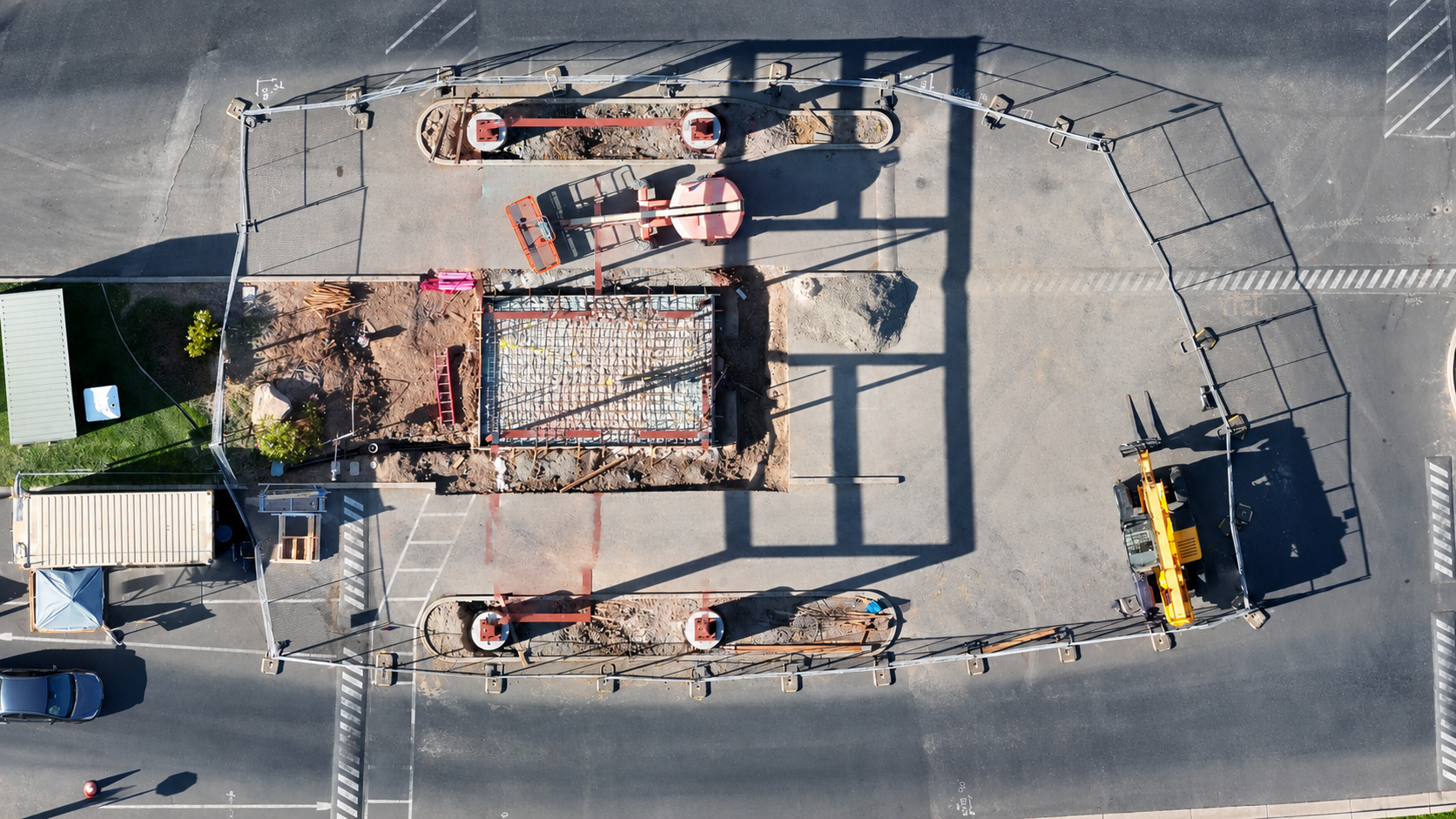
Roamr Visuals provides professional construction progress photography and drone imaging throughout the San Francisco Bay Area, giving project managers a reliable visual record of what is happening on site without depending on scattered phone photos or repeated walkthroughs.
Our scheduled aerial and ground imagery helps teams verify milestones, document completed work, monitor site conditions, support progress meetings, and keep owners and stakeholders informed. When questions, delays, or change orders come up, you have organized visual documentation to reference.
Choose weekly, monthly, or milestone-based coverage to build a consistent visual timeline from groundbreaking to completion.
Schedule construction progress photography for your Bay Area project today.
Commercial real estate
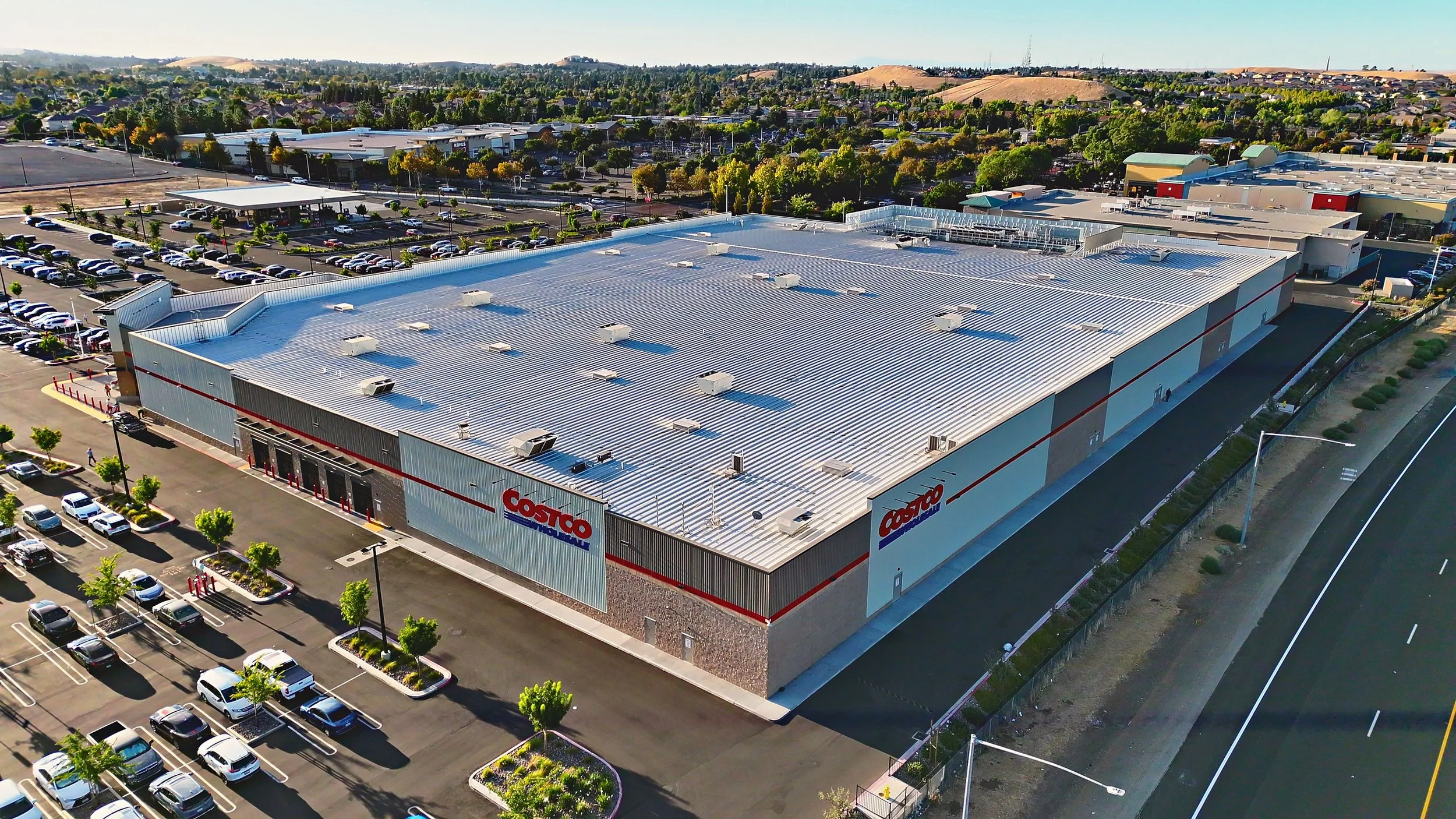
Professional commercial real estate photography and drone photography serving Brentwood, Antioch, Oakley, Concord, Walnut Creek, San Ramon, and communities throughout Contra Costa County.
Showcase office, retail, industrial, multifamily, and mixed-use properties with professional aerial and ground imagery designed to highlight location, scale, access, amenities, and surrounding features.
Ideal for commercial real estate brokers, developers, property managers, and property owners looking for high-quality marketing visuals.
Book your commercial property photography session today.
solar Inspections
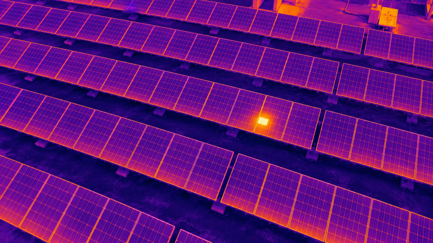
Find problems faster and inspect more of your solar system without putting crews on the roof. Roamr Visuals provides thermal drone inspections for solar panels in Brentwood, Antioch, Oakley, and across Contra Costa County, giving installers, property owners, and maintenance teams a clear view of heat anomalies, panel condition, and areas that may need closer attention.
Our aerial thermal imaging helps reduce inspection time, prioritize maintenance, document system condition, and identify potential issues before they lead to larger performance or repair costs.
Schedule your solar drone inspection today.